


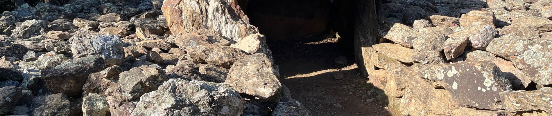
Casefabre Dolmen

robertperello
User
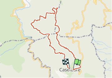

Length
10.2 km

Max alt
648 m

Uphill gradient
312 m
Km-Effort
14.4 km

Min alt
374 m

Downhill gradient
316 m
Boucle
Yes
Creation date :
2025-01-15 09:13:25.0
Updated on :
2025-01-15 13:57:59.987
3h03
Difficulty : Easy

FREE GPS app for hiking
 SityTrail
IGN / Geographical institutes
SityTrail Plus
The world is yours!
About
Trail Walking of 10.2 km to be discovered at Occitania, Pyrénées-Orientales, Casefabre. This trail is proposed by robertperello.
Description
Facile randonnée
Photos


Positioning
Country:
France
Region :
Occitania
Department/Province :
Pyrénées-Orientales
Municipality :
Casefabre
Location:
Unknown
Start:(Dec)
Start:(UTM)
468460 ; 4718240 (31T) N.
Comments