Saint-Jean des Vignes - Saint-Pierre - Charnay

Jean-Marc C
User
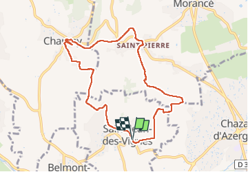

Length
9.3 km

Max alt
419 m

Uphill gradient
252 m
Km-Effort
12.6 km

Min alt
245 m

Downhill gradient
248 m
Boucle
Yes
Creation date :
2025-01-16 07:51:05.62
Updated on :
2025-01-16 11:12:50.405
2h25
Difficulty : Medium

FREE GPS app for hiking
 SityTrail
IGN / Geographical institutes
SityTrail Plus
The world is yours!
About
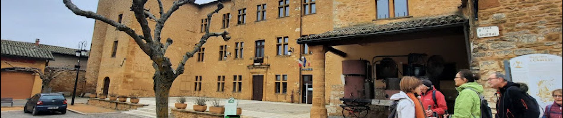
Trail Walking of 9.3 km to be discovered at Auvergne-Rhône-Alpes, Rhône, Saint-Jean-des-Vignes. This trail is proposed by Jean-Marc C.
Photos


Positioning
Country:
France
Region :
Auvergne-Rhône-Alpes
Department/Province :
Rhône
Municipality :
Saint-Jean-des-Vignes
Location:
Unknown
Start:(Dec)
Start:(UTM)
630738 ; 5081452 (31T) N.
Comments