


La Flûte

Pascal-83
User
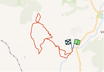

Length
10.2 km

Max alt
324 m

Uphill gradient
351 m
Km-Effort
14.8 km

Min alt
14 m

Downhill gradient
353 m
Boucle
Yes
Creation date :
2025-01-16 07:24:19.509
Updated on :
2025-01-16 18:03:51.535
3h25
Difficulty : Medium

FREE GPS app for hiking
 SityTrail
IGN / Geographical institutes
SityTrail Plus
The world is yours!
About
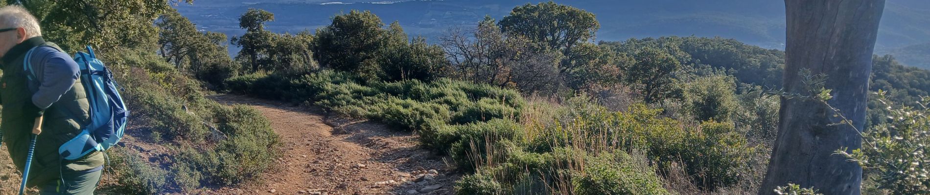
Trail Walking of 10.2 km to be discovered at Provence-Alpes-Côte d'Azur, Var, Roquebrune-sur-Argens. This trail is proposed by Pascal-83.
Description
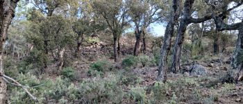
Oppidum Celto-ligure
Photos


Positioning
Country:
France
Region :
Provence-Alpes-Côte d'Azur
Department/Province :
Var
Municipality :
Roquebrune-sur-Argens
Location:
Unknown
Start:(Dec)
Start:(UTM)
311510 ; 4807528 (32T) N.
Comments