Trail Walking Collobrières - 
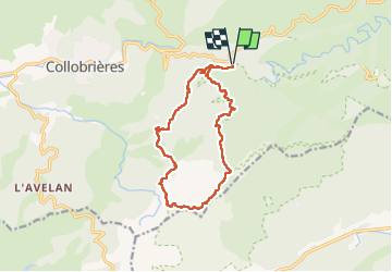
Verne - plateau Lambert - Photo
 FSantoni
FSantoni

User

© OpenStreetMap contributors
Length
Length
14.3 km
Max alt
Max alt
625 m
Uphill gradient
Uphill gradient
373 m
Km-Effort
Km-Effort  
19.3 km
Min alt
Min alt
354 m
Downhill gradient
Downhill gradient
372 m
Boucle
Boucle
Yes
Creation date :
2025-01-16 08:50:15.397
Updated on :
2025-01-16 17:34:09.297

(0 Reviews)

Walking
Walking
5h03
Difficulty : Very difficult

Scan this QR Code to open this trail in the SityTrail application

FREE GPS app for hiking

Logo SityTrail SityTrail

IGN / Geographical institutes

Download SityTrail from the App Store Download SityTrail from Google Play

Logo SityTrail SityTrail Plus

The world is yours!

Download SityTrail from the App Store Download SityTrail from Google Play Download SityTrail on Huawei AppGallery

About

Trail Walking of 14.3 km to be discovered at Provence-Alpes-Côte d'Azur, Var, Collobrières. This trail is proposed by FSantoni.

Description

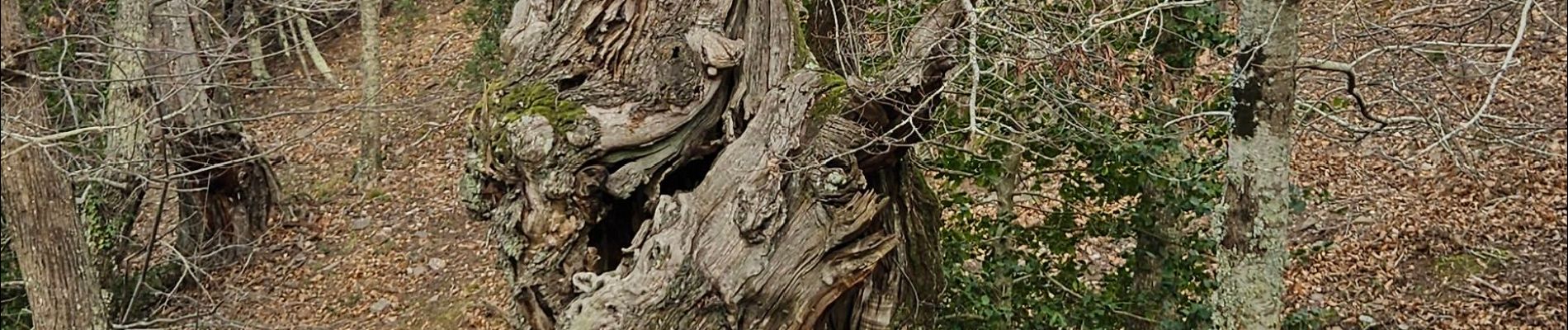
De la croix d'Anselme, cheminement le long de la Verne, puis sur les crêtes de la Verne, passage par le sommet de la Maure, puis par le plateau Lambert, avec ses deux fameux menhirs.
Le tout par un froid vivifiant !
Bref, un bonheur !!

Elevation profile

Photos

Positioning

Country:
France
Region :
Provence-Alpes-Côte d'Azur
Department/Province :
Var
Municipality :
Collobrières
Location:
Unknown
Start:(UTM)
285314 ; 4790627 (32T) N.


Close
My subscriptions