


20250118-charleval

doudet
User
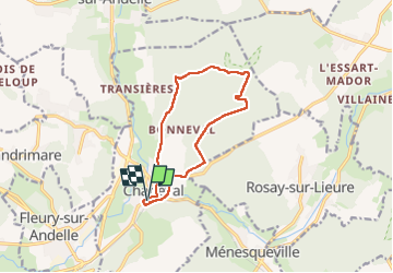

Length
10.6 km

Max alt
128 m

Uphill gradient
199 m
Km-Effort
13.3 km

Min alt
37 m

Downhill gradient
198 m
Boucle
Yes
Creation date :
2025-01-18 12:26:13.132
Updated on :
2025-01-19 08:08:15.724
2h34
Difficulty : Medium

FREE GPS app for hiking
 SityTrail
IGN / Geographical institutes
SityTrail Plus
The world is yours!
About
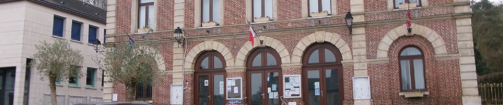
Trail Walking of 10.6 km to be discovered at Normandy, Eure, Charleval. This trail is proposed by doudet.
Description
Boucle A-R au départ de la Mairie
Photos

Positioning
Country:
France
Region :
Normandy
Department/Province :
Eure
Municipality :
Charleval
Location:
Unknown
Start:(Dec)
Start:(UTM)
382511 ; 5469858 (31U) N.
Comments