


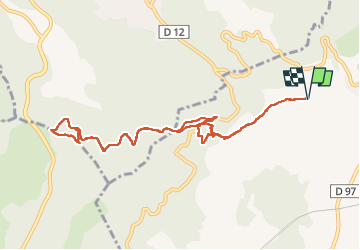
Puget-ville Sainte Philomène

FSantoni
User


4h52
Difficulty : Difficult

FREE GPS app for hiking
 SityTrail
IGN / Geographical institutes
SityTrail Plus
The world is yours!
About
Trail Walking of 11.1 km to be discovered at Provence-Alpes-Côte d'Azur, Var, Puget-Ville. This trail is proposed by FSantoni.
Description
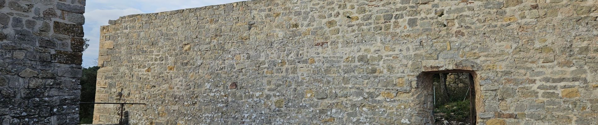
Petite rando au départ de Puget-Ville.
Montée vers la chapelle sainte Philomène, cheminement jusqu'à la Bigue et retour vers la chapelle en passant par le sentier botanique, ou plutôt ce qu'il en reste !
Photos


Positioning
Comments