


Les 3 Fours - col de la Schlucht

alfreson
User

Length
5.7 km

Max alt
1263 m

Uphill gradient
165 m
Km-Effort
8 km

Min alt
1137 m

Downhill gradient
169 m
Boucle
Yes
Creation date :
2025-01-20 09:42:35.0
Updated on :
2025-01-20 12:09:29.625
2h01
Difficulty : Medium

FREE GPS app for hiking
 SityTrail
IGN / Geographical institutes
SityTrail Plus
The world is yours!
About
Trail Walking of 5.7 km to be discovered at Grand Est, Haut-Rhin, Stosswihr. This trail is proposed by alfreson.
Description
Prévoir des petits crampons en hiver, sentiers verglacés
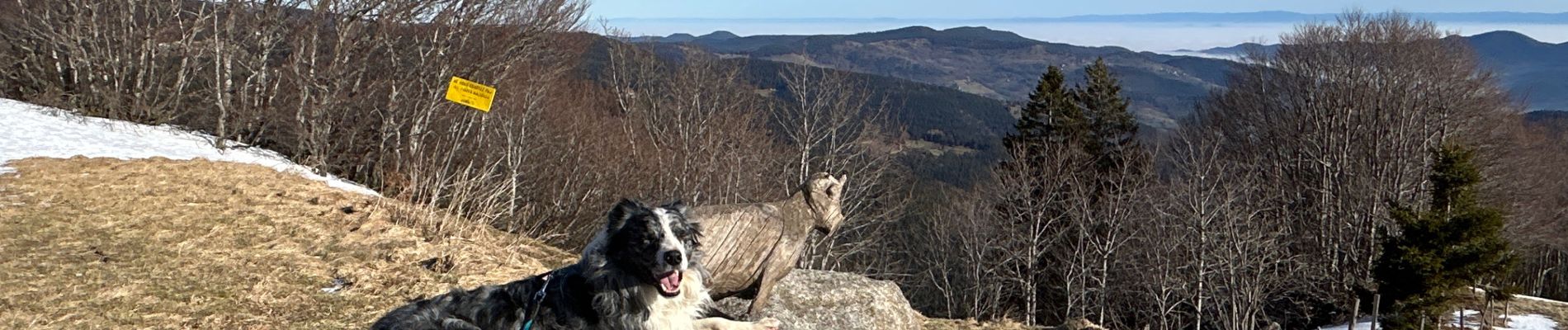
Photos


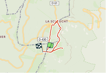
Positioning
Country:
France
Region :
Grand Est
Department/Province :
Haut-Rhin
Municipality :
Stosswihr
Location:
Unknown
Start:(Dec)
Start:(UTM)
352180 ; 5323968 (32U) N.
Comments