


Tour du lac de Gerardmer

alfreson
User
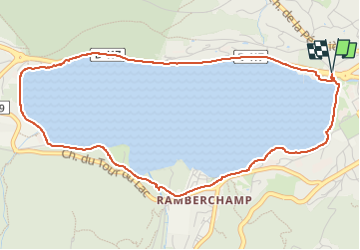

Length
5.3 km

Max alt
689 m

Uphill gradient
72 m
Km-Effort
6.3 km

Min alt
657 m

Downhill gradient
72 m
Boucle
Yes
Creation date :
2025-01-20 14:05:35.0
Updated on :
2025-01-20 15:28:15.196
1h22
Difficulty : Medium

FREE GPS app for hiking
 SityTrail
IGN / Geographical institutes
SityTrail Plus
The world is yours!
About
Trail Walking of 5.3 km to be discovered at Grand Est, Vosges, Gérardmer. This trail is proposed by alfreson.
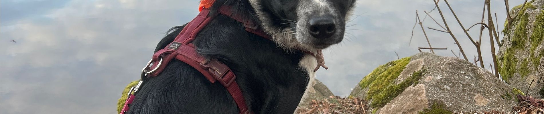
Photos


Positioning
Country:
France
Region :
Grand Est
Department/Province :
Vosges
Municipality :
Gérardmer
Location:
Unknown
Start:(Dec)
Start:(UTM)
341060 ; 5326482 (32U) N.
Comments