


randogps81-649

CANON2
User
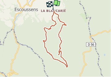

Length
8 km

Max alt
647 m

Uphill gradient
355 m
Km-Effort
12.7 km

Min alt
304 m

Downhill gradient
350 m
Boucle
Yes
Creation date :
2025-01-27 13:58:04.485
Updated on :
2025-01-27 14:01:18.42
2h53
Difficulty : Difficult

FREE GPS app for hiking
 SityTrail
IGN / Geographical institutes
SityTrail Plus
The world is yours!
About
Trail Walking of 8 km to be discovered at Occitania, Tarn, Escoussens. This trail is proposed by CANON2.
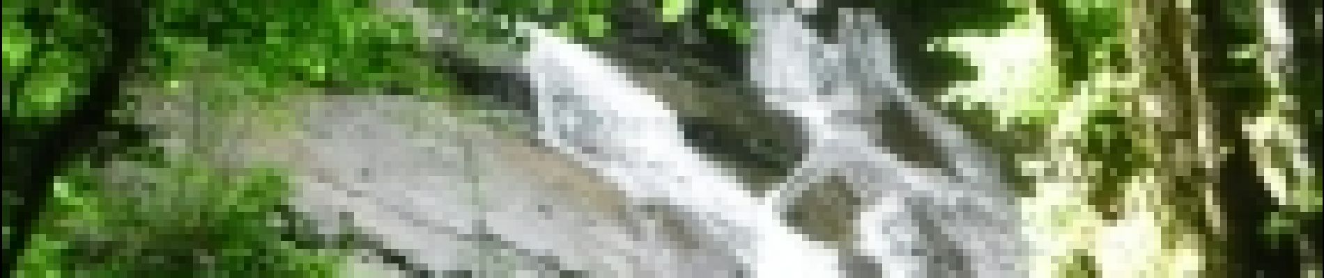
Photos


Positioning
Country:
France
Region :
Occitania
Department/Province :
Tarn
Municipality :
Escoussens
Location:
Unknown
Start:(Dec)
Start:(UTM)
437550 ; 4816576 (31T) N.
Comments