


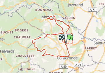
Combronde les Jouffrets la pierre branlante Montcel 21km

jeanic63
User

Length
21 km

Max alt
628 m

Uphill gradient
435 m
Km-Effort
27 km

Min alt
378 m

Downhill gradient
435 m
Boucle
Yes
Creation date :
2025-01-27 07:12:50.921
Updated on :
2025-01-27 18:12:14.261
6h11
Difficulty : Very difficult

FREE GPS app for hiking
 SityTrail
IGN / Geographical institutes
SityTrail Plus
The world is yours!
About
Trail Walking of 21 km to be discovered at Auvergne-Rhône-Alpes, Puy-de-Dôme, Combronde. This trail is proposed by jeanic63.
Description
départ parking vers le restaurant la table de l'Aize Combronde
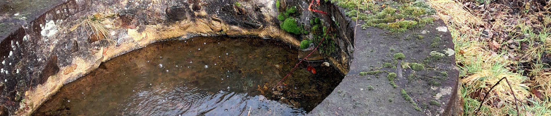
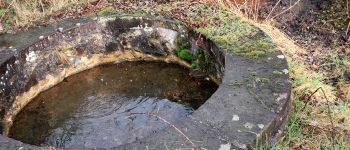
Photos

Positioning
Country:
France
Region :
Auvergne-Rhône-Alpes
Department/Province :
Puy-de-Dôme
Municipality :
Combronde
Location:
Unknown
Start:(Dec)
Start:(UTM)
506771 ; 5093301 (31T) N.
Comments