


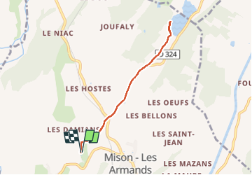
De Rame au lac de MISON et retour

babouille
User

Length
6.9 km

Max alt
639 m

Uphill gradient
102 m
Km-Effort
8.2 km

Min alt
592 m

Downhill gradient
100 m
Boucle
Yes
Creation date :
2025-01-31 08:06:05.0
Updated on :
2025-01-31 09:48:20.037

FREE GPS app for hiking
 SityTrail
IGN / Geographical institutes
SityTrail Plus
The world is yours!
About
Trail of 6.9 km to be discovered at Provence-Alpes-Côte d'Azur, Alpes-de-Haute-Provence, Mison. This trail is proposed by babouille.
Description
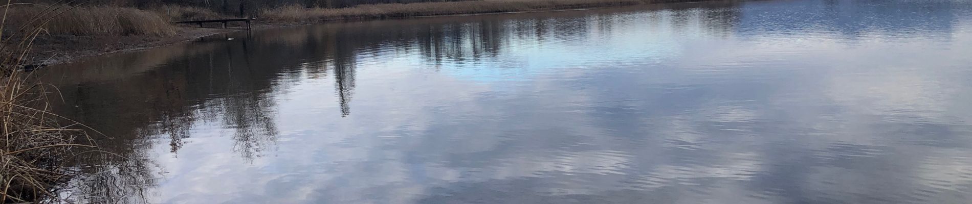
Du soleil au départ et couvert à l’arrivée
Photos


Positioning
Country:
France
Region :
Provence-Alpes-Côte d'Azur
Department/Province :
Alpes-de-Haute-Provence
Municipality :
Mison
Location:
Unknown
Start:(Dec)
Start:(UTM)
727255 ; 4905668 (31T) N.
Comments