


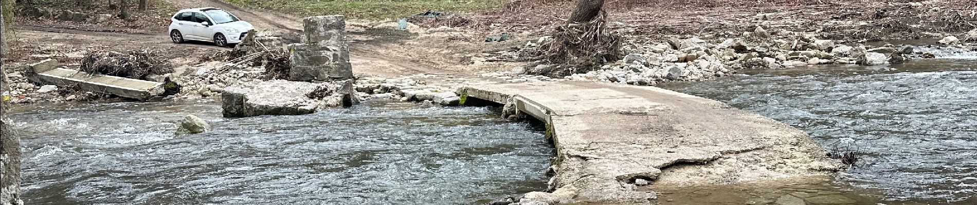
Les passerelles de la Cance Vernosc

alinetpierre
User

Length
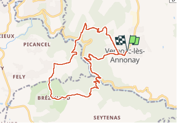
10.5 km

Max alt
398 m

Uphill gradient
348 m
Km-Effort
15.2 km

Min alt
241 m

Downhill gradient
348 m
Boucle
Yes
Creation date :
2025-02-03 09:08:28.0
Updated on :
2025-02-03 13:58:38.646

FREE GPS app for hiking
 SityTrail
IGN / Geographical institutes
SityTrail Plus
The world is yours!
About
Trail of 10.5 km to be discovered at Auvergne-Rhône-Alpes, Ardèche, Vernosc-lès-Annonay. This trail is proposed by alinetpierre.
Description
Rando azur , simplement magnifique
Photos


Positioning
Country:
France
Region :
Auvergne-Rhône-Alpes
Department/Province :
Ardèche
Municipality :
Vernosc-lès-Annonay
Location:
Unknown
Start:(Dec)
Start:(UTM)
634573 ; 5008530 (31T) N.
Comments