


pointe des Ratissieres (Valloire)

CABERMAT
User
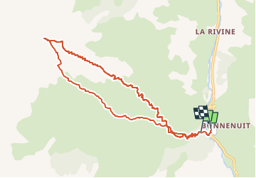

Length
10.5 km

Max alt
2837 m

Uphill gradient
1126 m
Km-Effort
26 km

Min alt
1681 m

Downhill gradient
1152 m
Boucle
No
Creation date :
2025-02-04 07:46:41.201
Updated on :
2025-02-04 13:52:36.266
6h04
Difficulty : Medium

FREE GPS app for hiking
 SityTrail
IGN / Geographical institutes
SityTrail Plus
The world is yours!
About
Trail Touring skiing of 10.5 km to be discovered at Auvergne-Rhône-Alpes, Savoy, Valloire. This trail is proposed by CABERMAT.
Photos
 - Photo 1")
 - Photo 2")
Positioning
Country:
France
Region :
Auvergne-Rhône-Alpes
Department/Province :
Savoy
Municipality :
Valloire
Location:
Unknown
Start:(Dec)
Start:(UTM)
296728 ; 4999474 (32T) N.
Comments