


R1-Autour de Coquibus

Jack-94
User
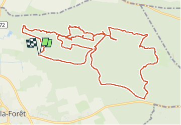

Length
18 km

Max alt
136 m

Uphill gradient
292 m
Km-Effort
22 km

Min alt
75 m

Downhill gradient
289 m
Boucle
Yes
Creation date :
2025-02-05 21:14:07.865
Updated on :
2025-02-05 21:14:55.008
6h35
Difficulty : Very difficult

FREE GPS app for hiking
 SityTrail
IGN / Geographical institutes
SityTrail Plus
The world is yours!
About
Trail Walking of 18 km to be discovered at Ile-de-France, Essonne, Milly-la-Forêt. This trail is proposed by Jack-94.
Positioning
Country:
France
Region :
Ile-de-France
Department/Province :
Essonne
Municipality :
Milly-la-Forêt
Location:
Unknown
Start:(Dec)
Start:(UTM)
461725 ; 5362724 (31U) N.
Comments