


La randonnée de Garrat

alainjoseph6
User
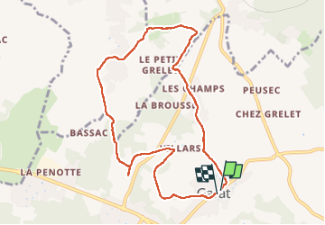

Length
9.1 km

Max alt
136 m

Uphill gradient
167 m
Km-Effort
11.3 km

Min alt
62 m

Downhill gradient
165 m
Boucle
Yes
Creation date :
2025-02-06 12:48:51.428
Updated on :
2025-02-10 08:41:53.992
2h34
Difficulty : Medium

FREE GPS app for hiking
 SityTrail
IGN / Geographical institutes
SityTrail Plus
The world is yours!
About
Trail Walking of 9.1 km to be discovered at New Aquitaine, Charente, Garat. This trail is proposed by alainjoseph6.
Description
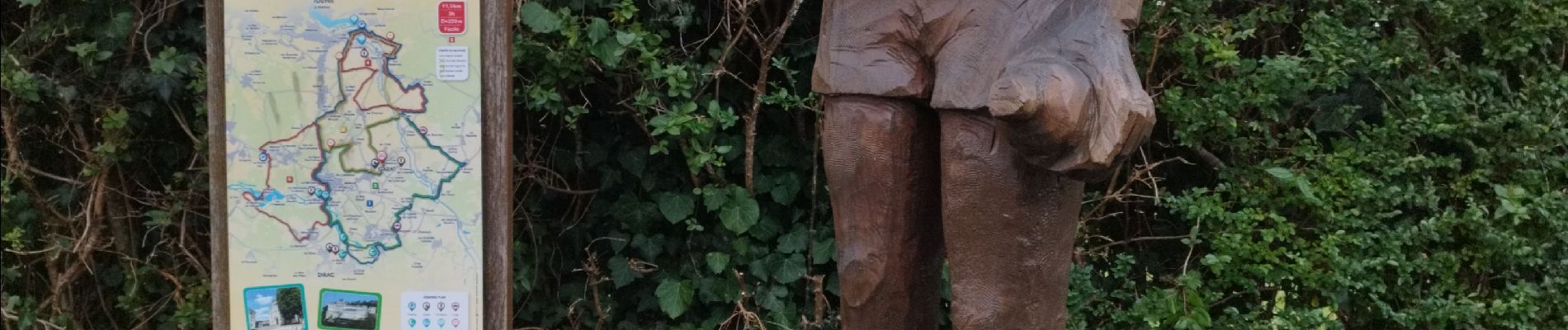
Au départ du parking de l'église, une bonne balade avec un paysage très vallonnée qui permet de découvrir les villages autour de Garrat avec de bonnes grimpettes.
Photos


Positioning
Country:
France
Region :
New Aquitaine
Department/Province :
Charente
Municipality :
Garat
Location:
Unknown
Start:(Dec)
Start:(UTM)
286763 ; 5056189 (31T) N.
Comments