


tancremont . la Tourette . les Mazures . chalsèche . forgé thiry . anc fort

stef789
User GUIDE
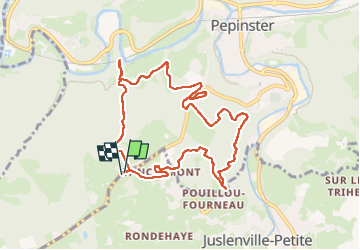

Length
9.3 km

Max alt
307 m

Uphill gradient
262 m
Km-Effort
12.7 km

Min alt
154 m

Downhill gradient
260 m
Boucle
Yes
Creation date :
2025-02-08 12:26:27.473
Updated on :
2025-02-08 15:07:45.038
2h40
Difficulty : Easy

FREE GPS app for hiking
 SityTrail
IGN / Geographical institutes
SityTrail Plus
The world is yours!
About
Trail Walking of 9.3 km to be discovered at Wallonia, Liège, Theux. This trail is proposed by stef789.
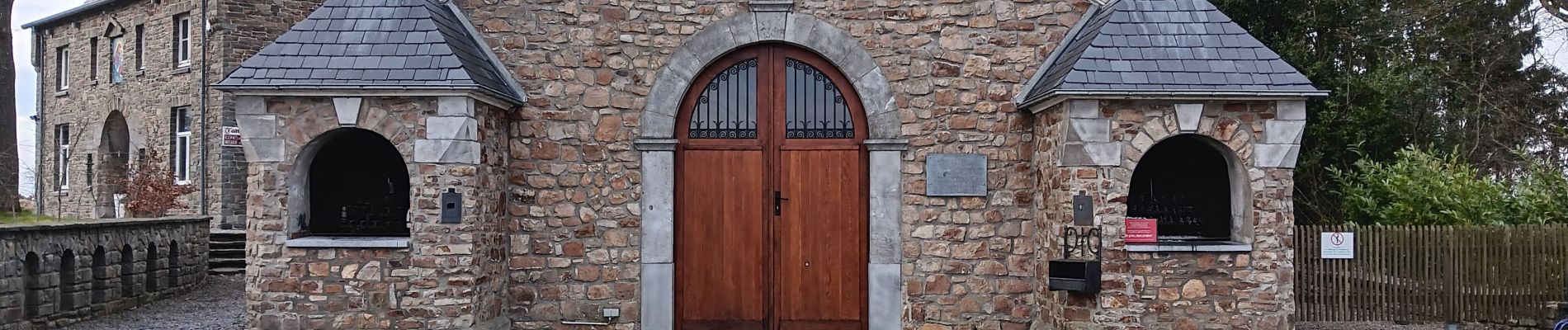
Photos


28 photos in total. Please click on a photo to see them all in the gallery.
Positioning
Country:
Belgium
Region :
Wallonia
Department/Province :
Liège
Municipality :
Theux
Location:
Theux
Start:(Dec)
Start:(UTM)
697168 ; 5603639 (31U) N.
Comments