


Fromiee 110225

guyernage25
User


4h51
Difficulty : Medium

FREE GPS app for hiking
 SityTrail
IGN / Geographical institutes
SityTrail Plus
The world is yours!
About
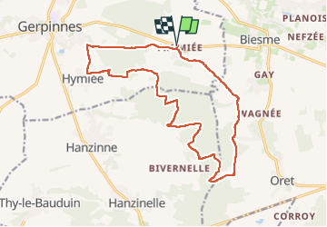
Trail Walking of 17.3 km to be discovered at Wallonia, Hainaut, Gerpinnes. This trail is proposed by guyernage25.
Description
Belle rando campagnarde et forestière.
ATTENTION!!! A l'entrée du village de Hymiée, près d'une pompe à eau, le parcours prend à gauche ce chemin sans issue qui aboutit à un champ, ici continuer jusqu'à la sapinière et descendre le long de celle-ci puis emprunter une pâture qui vous conduit à la route macadamisée Hymiée - Fromiée. Ou bien, ne pas emprunter ce chemin sans issue et aller tout droit au carrefour suivant pour prendre à gauche la route macadamisée (peu de circulation).
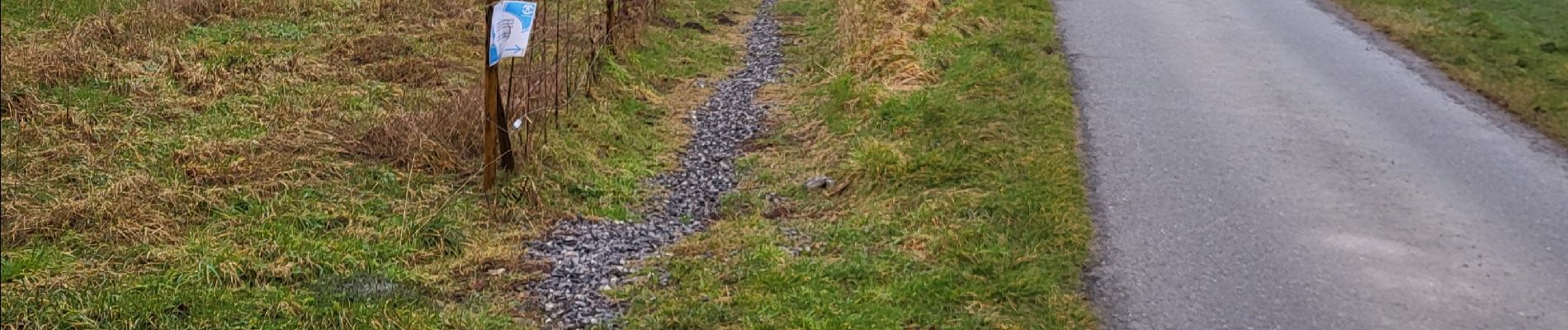
Photos


29 photos in total. Please click on a photo to see them all in the gallery.
Positioning
Comments