


Fourques /

robertperello
User

Length
22 km

Max alt
151 m

Uphill gradient
211 m
Km-Effort
25 km

Min alt
50 m

Downhill gradient
300 m
Boucle
No
Creation date :
2025-02-07 09:01:28.0
Updated on :
2025-02-12 07:10:41.724
2h31
Difficulty : Very easy

FREE GPS app for hiking
 SityTrail
IGN / Geographical institutes
SityTrail Plus
The world is yours!
About
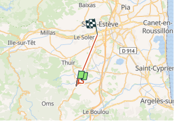
Trail Walking of 22 km to be discovered at Occitania, Pyrénées-Orientales, Fourques. This trail is proposed by robertperello.
Description
Pking route de llauro à G. Rando dans les vignes
Positioning
Country:
France
Region :
Occitania
Department/Province :
Pyrénées-Orientales
Municipality :
Fourques
Location:
Unknown
Start:(Dec)
Start:(UTM)
481836 ; 4714087 (31T) N.
Comments