


viaduc du rayol

Michel DUBOIS
User
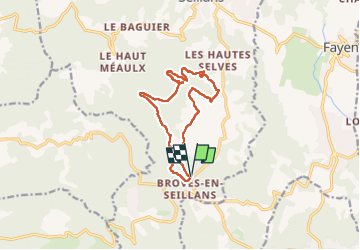

Length
12.9 km

Max alt
420 m

Uphill gradient
330 m
Km-Effort
17.3 km

Min alt
270 m

Downhill gradient
330 m
Boucle
Yes
Creation date :
2025-02-10 08:18:28.668
Updated on :
2025-02-12 17:32:43.047
3h17
Difficulty : Medium

FREE GPS app for hiking
 SityTrail
IGN / Geographical institutes
SityTrail Plus
The world is yours!
About
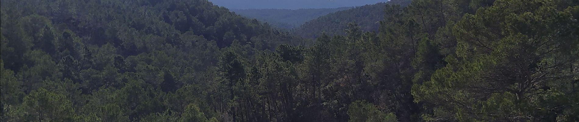
Trail Walking of 12.9 km to be discovered at Provence-Alpes-Côte d'Azur, Var, Seillans. This trail is proposed by Michel DUBOIS.
Photos


Positioning
Country:
France
Region :
Provence-Alpes-Côte d'Azur
Department/Province :
Var
Municipality :
Seillans
Location:
Unknown
Start:(Dec)
Start:(UTM)
309598 ; 4829210 (32T) N.
Comments