


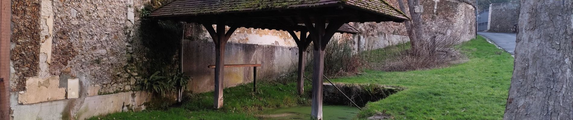
Vauboyen

c.chehere
User
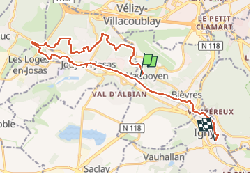

Length
17.5 km

Max alt
180 m

Uphill gradient
261 m
Km-Effort
21 km

Min alt
68 m

Downhill gradient
280 m
Boucle
No
Creation date :
2025-02-14 07:22:10.288
Updated on :
2025-02-15 10:28:55.804
6h02
Difficulty : Medium

FREE GPS app for hiking
 SityTrail
IGN / Geographical institutes
SityTrail Plus
The world is yours!
About
Trail Walking of 17.5 km to be discovered at Ile-de-France, Essonne, Bièvres. This trail is proposed by c.chehere.
Photos


Positioning
Country:
France
Region :
Ile-de-France
Department/Province :
Essonne
Municipality :
Bièvres
Location:
Unknown
Start:(Dec)
Start:(UTM)
440772 ; 5401177 (31U) N.
Comments