


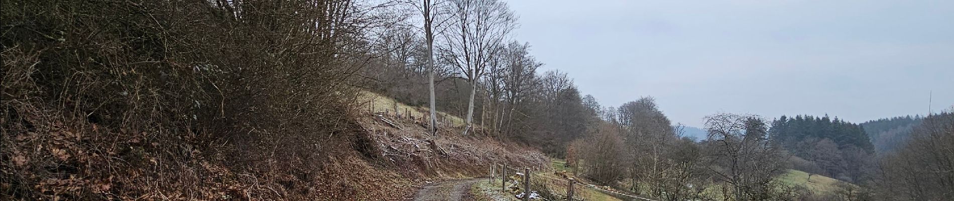
A la découverte de Rohren 🥾

Ko-Rando
User
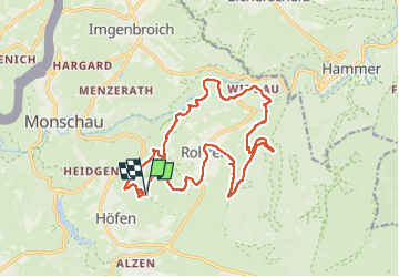

Length
16.6 km

Max alt
557 m

Uphill gradient
407 m
Km-Effort
22 km

Min alt
372 m

Downhill gradient
406 m
Boucle
Yes
Creation date :
2025-02-14 11:26:58.43
Updated on :
2025-02-14 16:34:03.834
4h02
Difficulty : Easy

FREE GPS app for hiking
 SityTrail
IGN / Geographical institutes
SityTrail Plus
The world is yours!
About
Trail Walking of 16.6 km to be discovered at North Rhine-Westphalia, Städteregion Aachen, Monschau. This trail is proposed by Ko-Rando.
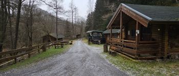
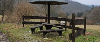
Photos


Positioning
Country:
Germany
Region :
North Rhine-Westphalia
Department/Province :
Städteregion Aachen
Municipality :
Monschau
Location:
Unknown
Start:(Dec)
Start:(UTM)
306319 ; 5602248 (32U) N.
Comments