


adeps St Hubert

thomas1986
User


Length
9.3 km

Max alt
497 m

Uphill gradient
218 m
Km-Effort
12.2 km

Min alt
389 m

Downhill gradient
218 m
Boucle
Yes
Creation date :
2025-02-16 10:36:05.771
Updated on :
2025-02-16 13:02:56.99
2h08
Difficulty : Difficult

FREE GPS app for hiking
 SityTrail
IGN / Geographical institutes
SityTrail Plus
The world is yours!
About
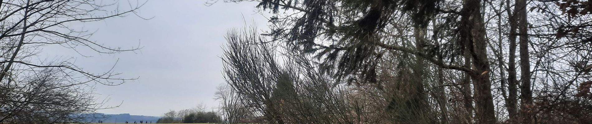
Trail Walking of 9.3 km to be discovered at Wallonia, Luxembourg, Saint-Hubert. This trail is proposed by thomas1986.
Photos


Positioning
Country:
Belgium
Region :
Wallonia
Department/Province :
Luxembourg
Municipality :
Saint-Hubert
Location:
Unknown
Start:(Dec)
Start:(UTM)
669175 ; 5543523 (31U) N.
Comments