


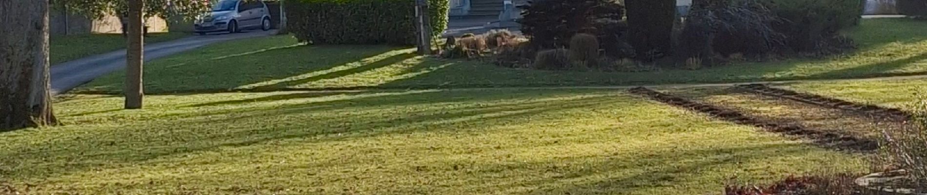
Wignehies circuit architecture et paysage industriels

mjh
User
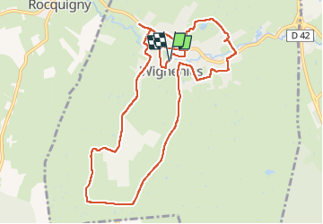

Length
10.8 km

Max alt
226 m

Uphill gradient
142 m
Km-Effort
12.7 km

Min alt
167 m

Downhill gradient
144 m
Boucle
Yes
Creation date :
2025-02-17 11:51:10.758
Updated on :
2025-02-17 15:16:22.798
2h39
Difficulty : Medium

FREE GPS app for hiking
 SityTrail
IGN / Geographical institutes
SityTrail Plus
The world is yours!
About
Trail Walking of 10.8 km to be discovered at Hauts-de-France, Nord, Wignehies. This trail is proposed by mjh.
Photos


Positioning
Country:
France
Region :
Hauts-de-France
Department/Province :
Nord
Municipality :
Wignehies
Location:
Unknown
Start:(Dec)
Start:(UTM)
571928 ; 5540792 (31U) N.
Comments