


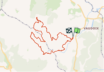
ROQUEBRUNE - JAUME PAR LE FOURNEL
© OpenStreetMap contributors


7h08
Difficulty : Very difficult


Length
22 km
Max alt
470 m
Uphill gradient
720 m
Km-Effort
31 km
Min alt
14 m
Downhill gradient
721 m
Boucle
Yes
Creation date :
2025-02-17 19:24:43.323
Updated on :
2025-02-17 19:26:07.433
7h08
Difficulty : Very difficult
FREE GPS app for hiking
 SityTrail
IGN / Geographical institutes
SityTrail Plus
The world is yours!
About
Trail Walking of 22 km to be discovered at Provence-Alpes-Côte d'Azur, Var, Roquebrune-sur-Argens. This trail is proposed by louventouletdu04@hotmail.fr.
Positioning
Country:
France
Region :
Provence-Alpes-Côte d'Azur
Department/Province :
Var
Municipality :
Roquebrune-sur-Argens
Location:
Unknown
Start:(Dec)
Start:(UTM)
311463 ; 4807513 (32T) N.
Comments