


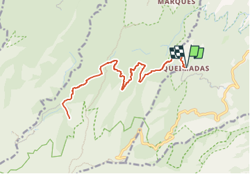
Mad_31_CaldeiraoVerde

jeanmarcMasson
User GUIDE

Length
12.6 km

Max alt
1160 m

Uphill gradient
1373 m
Km-Effort
31 km

Min alt
837 m

Downhill gradient
1373 m
Boucle
Yes
Creation date :
2025-02-17 20:15:56.896
Updated on :
2025-02-27 08:02:05.741
7h02
Difficulty : Very difficult

FREE GPS app for hiking
 SityTrail
IGN / Geographical institutes
SityTrail Plus
The world is yours!
About
Trail Walking of 12.6 km to be discovered at Madeira, Unknown, Santana. This trail is proposed by jeanmarcMasson.


Positioning
Country:
Portugal
Region :
Madeira
Department/Province :
Unknown
Municipality :
Santana
Location:
Unknown
Start:(Dec)
Start:(UTM)
321519 ; 3628920 (28S) N.
Comments