


aygaliers

fario
User
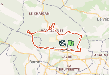

Length
16.5 km

Max alt
274 m

Uphill gradient
349 m
Km-Effort
21 km

Min alt
160 m

Downhill gradient
350 m
Boucle
Yes
Creation date :
2025-02-20 08:18:11.688
Updated on :
2025-02-20 14:13:47.608
5h54
Difficulty : Very difficult

FREE GPS app for hiking
 SityTrail
IGN / Geographical institutes
SityTrail Plus
The world is yours!
About
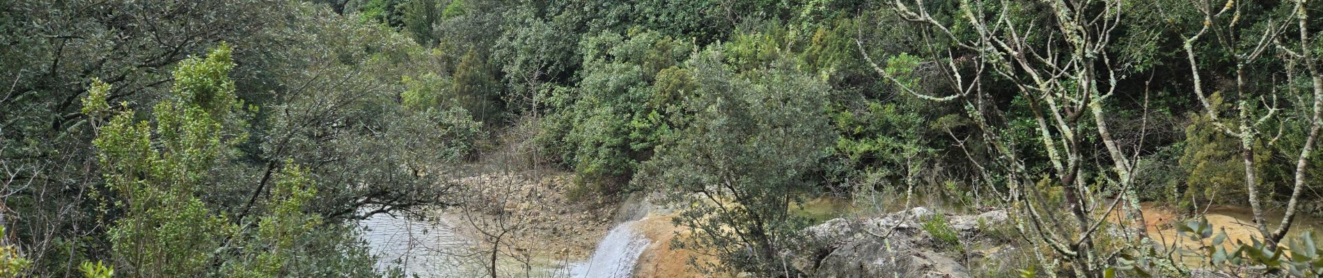
Trail Walking of 16.5 km to be discovered at Occitania, Gard, Aigaliers. This trail is proposed by fario.
Photos

Positioning
Country:
France
Region :
Occitania
Department/Province :
Gard
Municipality :
Aigaliers
Location:
Unknown
Start:(Dec)
Start:(UTM)
605914 ; 4879255 (31T) N.
Comments