


Anthisnes 250225

guyernage25
User
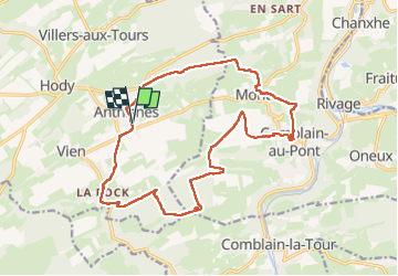

Length
17.6 km

Max alt
279 m

Uphill gradient
435 m
Km-Effort
23 km

Min alt
113 m

Downhill gradient
435 m
Boucle
Yes
Creation date :
2025-02-25 08:35:58.098
Updated on :
2025-02-25 14:00:58.224
5h24
Difficulty : Medium

FREE GPS app for hiking
 SityTrail
IGN / Geographical institutes
SityTrail Plus
The world is yours!
About
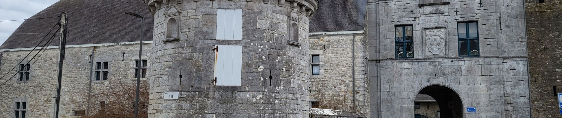
Trail Walking of 17.6 km to be discovered at Wallonia, Liège, Anthisnes. This trail is proposed by guyernage25.
Description
belle rando sans le condroz liegeois
Photos


29 photos in total. Please click on a photo to see them all in the gallery.
Positioning
Country:
Belgium
Region :
Wallonia
Department/Province :
Liège
Municipality :
Anthisnes
Location:
Unknown
Start:(Dec)
Start:(UTM)
679125 ; 5594970 (31U) N.
Comments