


mont haut par montolieu

labarone
User
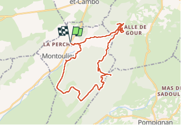

Length
21 km

Max alt
520 m

Uphill gradient
535 m
Km-Effort
28 km

Min alt
180 m

Downhill gradient
535 m
Boucle
Yes
Creation date :
2025-02-25 07:19:16.126
Updated on :
2025-02-25 14:50:44.95
7h03
Difficulty : Difficult

FREE GPS app for hiking
 SityTrail
IGN / Geographical institutes
SityTrail Plus
The world is yours!
About
Trail Walking of 21 km to be discovered at Occitania, Hérault, Montoulieu. This trail is proposed by labarone.
Description
quelques cotes pierreries hard et en haut du mont vent
aujourd'hui hui chemin boueux et eau
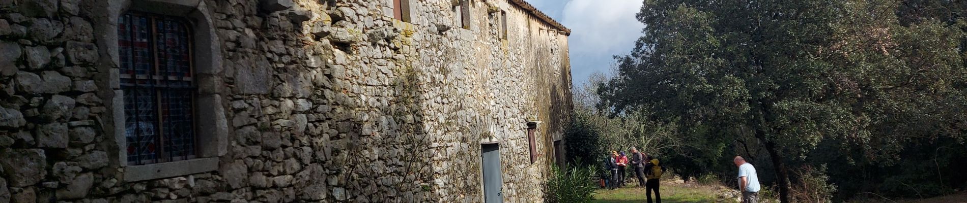
Photos


Positioning
Country:
France
Region :
Occitania
Department/Province :
Hérault
Municipality :
Montoulieu
Location:
Unknown
Start:(Dec)
Start:(UTM)
564090 ; 4864771 (31T) N.
Comments