


Rando cha 2

jeanmarcMasson
User GUIDE
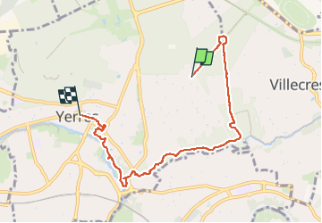

Length
6.9 km

Max alt
118 m

Uphill gradient
48 m
Km-Effort
7.8 km

Min alt
36 m

Downhill gradient
107 m
Boucle
No
Creation date :
2025-02-28 08:34:54.0
Updated on :
2025-02-28 11:12:01.378

FREE GPS app for hiking
 SityTrail
IGN / Geographical institutes
SityTrail Plus
The world is yours!
About
Trail of 6.9 km to be discovered at Ile-de-France, Essonne, Yerres. This trail is proposed by jeanmarcMasson.
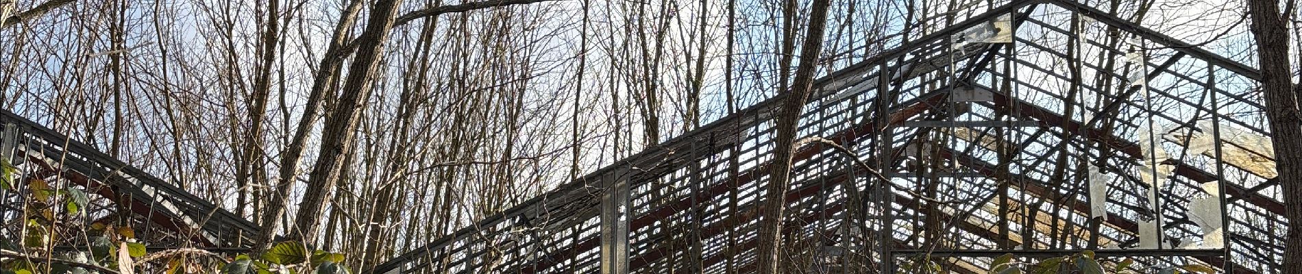
Photos

Positioning
Country:
France
Region :
Ile-de-France
Department/Province :
Essonne
Municipality :
Yerres
Location:
Unknown
Start:(Dec)
Start:(UTM)
463958 ; 5396648 (31U) N.
Comments