


col dels belitres . cerbère . col de la farella . pic rodone . pic fresas

stef789
User GUIDE
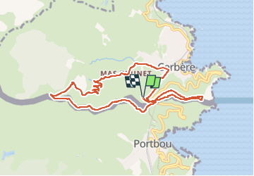

Length
10.4 km

Max alt
352 m

Uphill gradient
398 m
Km-Effort
15.7 km

Min alt
19 m

Downhill gradient
397 m
Boucle
Yes
Creation date :
2025-03-01 12:42:36.9
Updated on :
2025-03-01 16:38:14.663
3h55
Difficulty : Medium

FREE GPS app for hiking
 SityTrail
IGN / Geographical institutes
SityTrail Plus
The world is yours!
About
Trail Walking of 10.4 km to be discovered at Occitania, Pyrénées-Orientales, Cerbère. This trail is proposed by stef789.
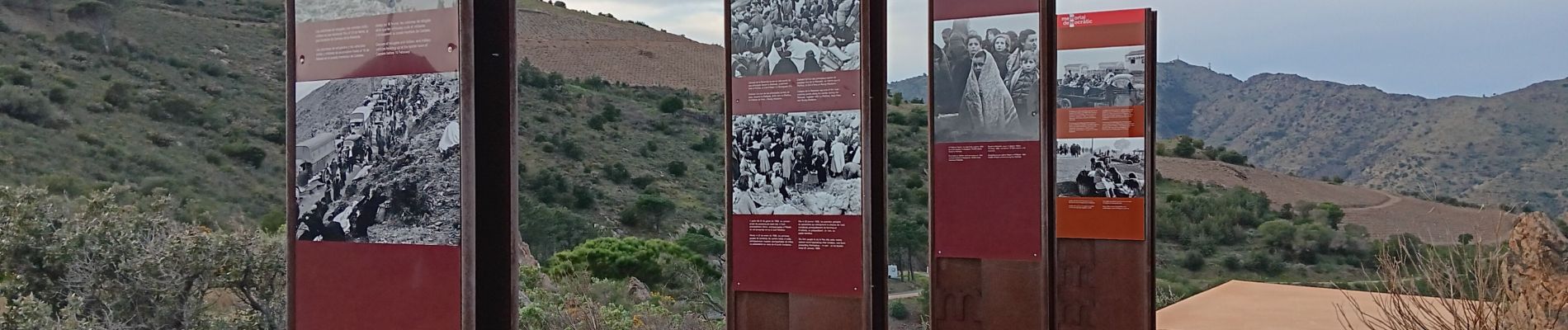
Photos


37 photos in total. Please click on a photo to see them all in the gallery.
Positioning
Country:
France
Region :
Occitania
Department/Province :
Pyrénées-Orientales
Municipality :
Cerbère
Location:
Unknown
Start:(Dec)
Start:(UTM)
512886 ; 4698174 (31T) N.
Comments