


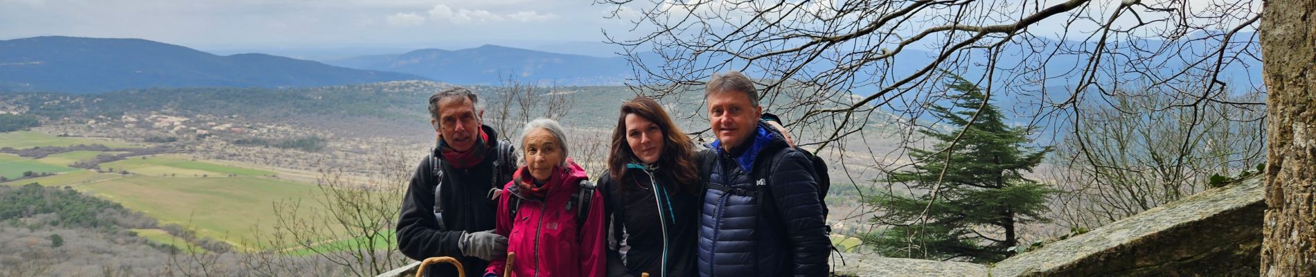
Sainte Baume dans le brouillard 01-03-2025

FSantoni
User
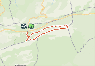

Length
12.7 km

Max alt
1140 m

Uphill gradient
643 m
Km-Effort
21 km

Min alt
682 m

Downhill gradient
644 m
Boucle
Yes
Creation date :
2025-03-01 20:27:41.672
Updated on :
2025-03-01 20:29:38.521
4h49
Difficulty : Very difficult

FREE GPS app for hiking
 SityTrail
IGN / Geographical institutes
SityTrail Plus
The world is yours!
About
Trail Walking of 12.7 km to be discovered at Provence-Alpes-Côte d'Azur, Var, Plan-d'Aups-Sainte-Baume. This trail is proposed by FSantoni.
Photos


Positioning
Country:
France
Region :
Provence-Alpes-Côte d'Azur
Department/Province :
Var
Municipality :
Plan-d'Aups-Sainte-Baume
Location:
Unknown
Start:(Dec)
Start:(UTM)
724196 ; 4801775 (31T) N.
Comments