


massif et abbaye de Fontfroide

stef789
User GUIDE
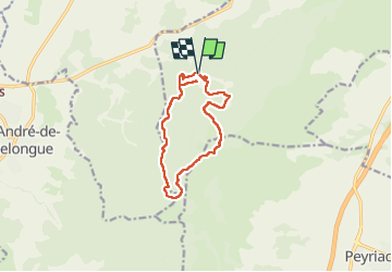

Length
12.3 km

Max alt
243 m

Uphill gradient
213 m
Km-Effort
15.2 km

Min alt
108 m

Downhill gradient
213 m
Boucle
Yes
Creation date :
2025-03-02 12:20:23.318
Updated on :
2025-03-02 15:47:33.574
3h26
Difficulty : Easy

FREE GPS app for hiking
 SityTrail
IGN / Geographical institutes
SityTrail Plus
The world is yours!
About
Trail Walking of 12.3 km to be discovered at Occitania, Aude, Narbonne. This trail is proposed by stef789.
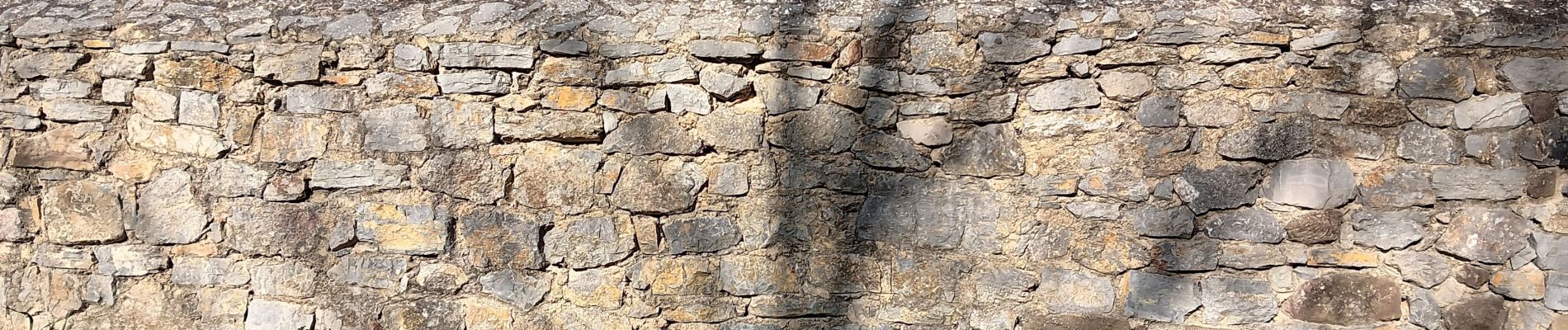
Photos


35 photos in total. Please click on a photo to see them all in the gallery.
Positioning
Country:
France
Region :
Occitania
Department/Province :
Aude
Municipality :
Narbonne
Location:
Unknown
Start:(Dec)
Start:(UTM)
491550 ; 4775247 (31T) N.
Comments