


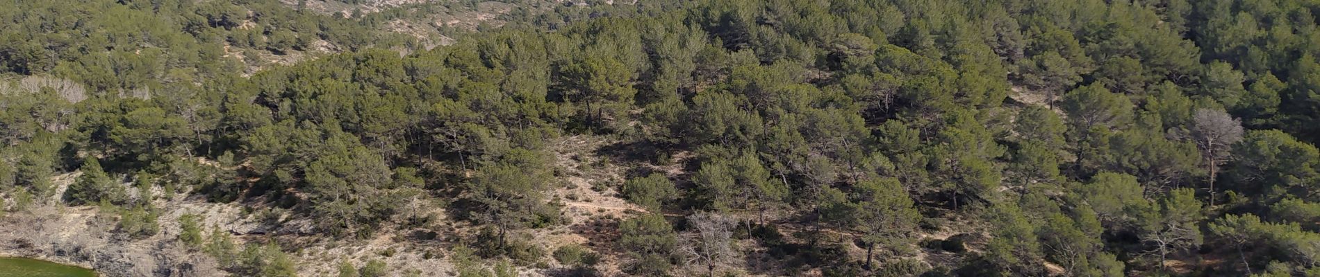
barage bimont et zola

Michel DUBOIS
User
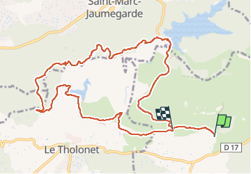

Length
13.4 km

Max alt
374 m

Uphill gradient
384 m
Km-Effort
18.3 km

Min alt
223 m

Downhill gradient
322 m
Boucle
No
Creation date :
2025-03-04 08:33:24.2
Updated on :
2025-03-04 13:40:21.01
3h12
Difficulty : Easy

FREE GPS app for hiking
 SityTrail
IGN / Geographical institutes
SityTrail Plus
The world is yours!
About
Trail Walking of 13.4 km to be discovered at Provence-Alpes-Côte d'Azur, Bouches-du-Rhône, Beaurecueil. This trail is proposed by Michel DUBOIS.
Photos


Positioning
Country:
France
Region :
Provence-Alpes-Côte d'Azur
Department/Province :
Bouches-du-Rhône
Municipality :
Beaurecueil
Location:
Unknown
Start:(Dec)
Start:(UTM)
705859 ; 4822168 (31T) N.
Comments