


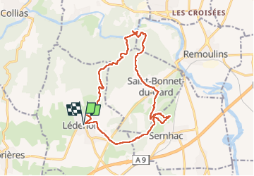
ledenon pont du gard

labarone
User

Length
17.9 km

Max alt
154 m

Uphill gradient
402 m
Km-Effort
23 km

Min alt
19 m

Downhill gradient
402 m
Boucle
Yes
Creation date :
2025-03-04 07:35:10.158
Updated on :
2025-03-04 13:56:06.612
5h48
Difficulty : Medium

FREE GPS app for hiking
 SityTrail
IGN / Geographical institutes
SityTrail Plus
The world is yours!
About
Trail Walking of 17.9 km to be discovered at Occitania, Gard, Lédenon. This trail is proposed by labarone.
Description
super très belle vue le pont du Gard...la carrière
Photos


Positioning
Country:
France
Region :
Occitania
Department/Province :
Gard
Municipality :
Lédenon
Location:
Unknown
Start:(Dec)
Start:(UTM)
621308 ; 4863534 (31T) N.
Comments