


Neoulos

phi14
User

Length
18.2 km

Max alt
1247 m

Uphill gradient
1189 m
Km-Effort
34 km

Min alt
104 m

Downhill gradient
1191 m
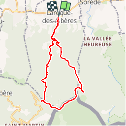
Boucle
Yes
Creation date :
2015-06-24 00:00:00.0
Updated on :
2015-06-24 00:00:00.0
4h49
Difficulty : Difficult

FREE GPS app for hiking
 SityTrail
IGN / Geographical institutes
SityTrail Plus
The world is yours!
About
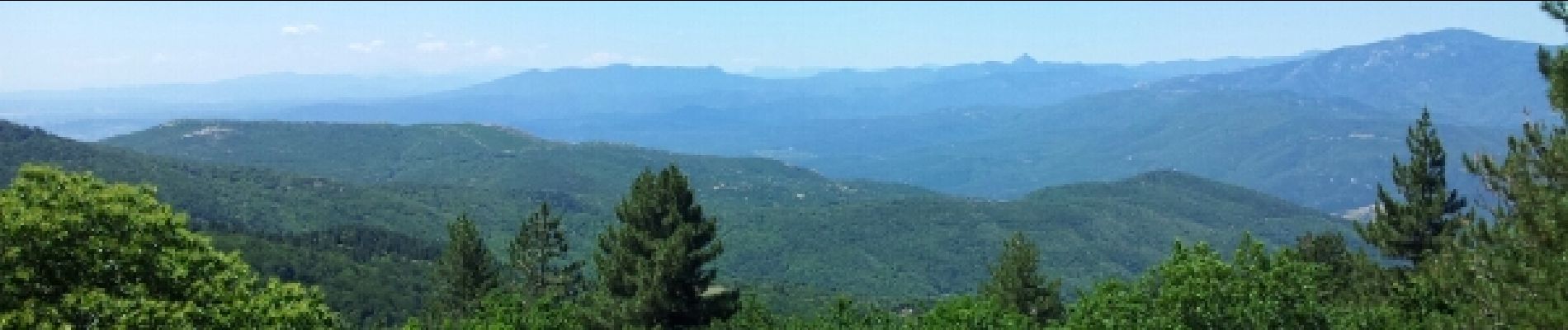
Trail Walking of 18.2 km to be discovered at Occitania, Pyrénées-Orientales, Laroque-des-Albères. This trail is proposed by phi14.
Description
La montée du Néoulos est trés rude. La descente par le col de l'Ullat est agréable.
Photos


Positioning
Country:
France
Region :
Occitania
Department/Province :
Pyrénées-Orientales
Municipality :
Laroque-des-Albères
Location:
Unknown
Start:(Dec)
Start:(UTM)
494618 ; 4707808 (31T) N.
Comments