


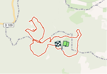
Obernai-150626 - Landsberg

randodan
User


2h00
Difficulty : Easy

FREE GPS app for hiking
 SityTrail
IGN / Geographical institutes
SityTrail Plus
The world is yours!
About
Trail Walking of 5.9 km to be discovered at Grand Est, Bas-Rhin, Barr. This trail is proposed by randodan.
Description
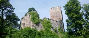
Obernais, 26 juin 2015<br>
- Château du Landsberg -<br>
(basé sur une fiche de "alsace-balades")<br>
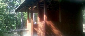
9h30, départ de la Maison Forestière Moenkall.<br>
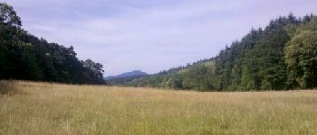
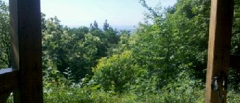
Pour utiliser la Table d'Orientation de Belle Vue de Moenkall (Laergerwald), faudrait des tronçonneuses et aplanir la rotondité de la terre . Le Point de vue du Kiosque Hartmann n'est guère plus dégagé . Le Château du Landsberg, une ruine qui a encore de beaux restes.<br>
11h30, de retour à la voiture.<br>
2 participants (Mi,Da).
Photos


Positioning
Comments