


Thuin 130325

guyernage25
User


Length
16.4 km

Max alt
182 m

Uphill gradient
318 m
Km-Effort
21 km

Min alt
114 m

Downhill gradient
323 m
Boucle
Yes
Creation date :
2025-03-13 08:48:40.786
Updated on :
2025-03-13 13:25:07.992
4h34
Difficulty : Medium

FREE GPS app for hiking
 SityTrail
IGN / Geographical institutes
SityTrail Plus
The world is yours!
About
Trail Walking of 16.4 km to be discovered at Wallonia, Hainaut, Thuin. This trail is proposed by guyernage25.
Description
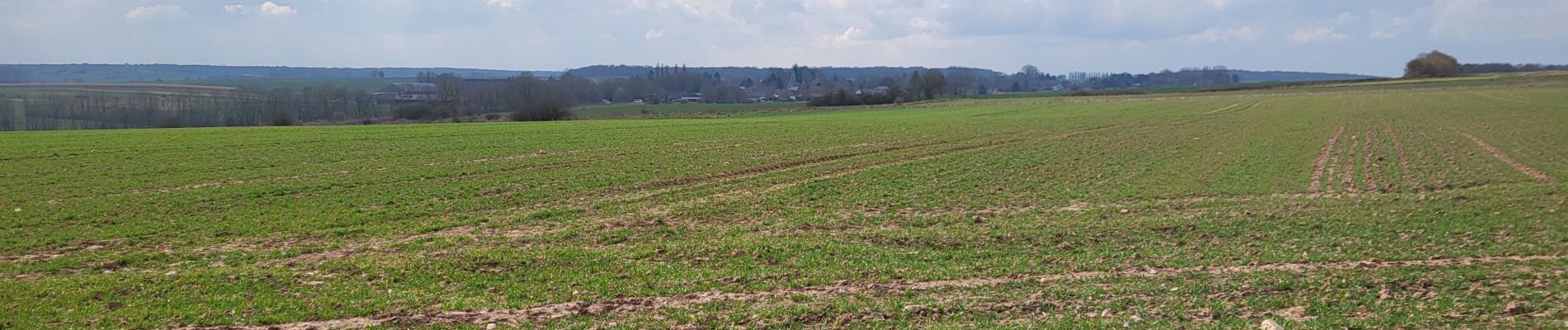
belle rando dans la vallée de la haute Sambre
Photos


58 photos in total. Please click on a photo to see them all in the gallery.
Positioning
Country:
Belgium
Region :
Wallonia
Department/Province :
Hainaut
Municipality :
Thuin
Location:
Unknown
Start:(Dec)
Start:(UTM)
591570 ; 5576211 (31U) N.
Comments