


Rando des potiers St uzes 2025

alinetpierre
User
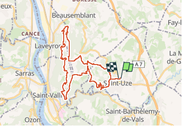

Length
19.8 km

Max alt
360 m

Uphill gradient
632 m
Km-Effort
28 km

Min alt
169 m

Downhill gradient
638 m
Boucle
Yes
Creation date :
2025-03-16 07:00:40.0
Updated on :
2025-03-16 11:24:31.795

FREE GPS app for hiking
 SityTrail
IGN / Geographical institutes
SityTrail Plus
The world is yours!
About
Trail of 19.8 km to be discovered at Auvergne-Rhône-Alpes, Drôme, Saint-Uze. This trail is proposed by alinetpierre.
Description
Rando des écoles
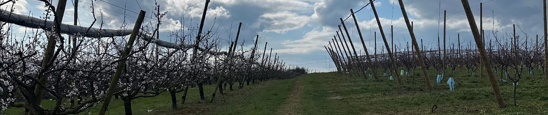
Photos


Positioning
Country:
France
Region :
Auvergne-Rhône-Alpes
Department/Province :
Drôme
Municipality :
Saint-Uze
Location:
Unknown
Start:(Dec)
Start:(UTM)
646407 ; 5005375 (31T) N.
Comments