Trail Walking Florennes - Bernard  - Photo
© OpenStreetMap contributors
Length
Length
13.9 km
Max alt
Max alt
279 m
Uphill gradient
Uphill gradient
196 m
Km-Effort
Km-Effort  
16.5 km
Min alt
Min alt
209 m
Downhill gradient
Downhill gradient
196 m
Boucle
Boucle
Yes
Creation date :
2025-03-16 10:32:35.29
Updated on :
2025-03-16 14:37:51.524

(0 Reviews)

Walking
Walking
3h37
Difficulty : Difficult

Scan this QR Code to open this trail in the SityTrail application

FREE GPS app for hiking

Logo SityTrail SityTrail

IGN / Geographical institutes

Download SityTrail from the App Store Download SityTrail from Google Play

Logo SityTrail SityTrail Plus

The world is yours!

Download SityTrail from the App Store Download SityTrail from Google Play Download SityTrail on Huawei AppGallery

About

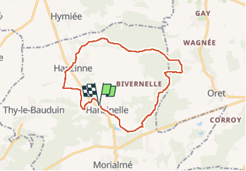
Trail Walking of 13.9 km to be discovered at Wallonia, Namur, Florennes. This trail is proposed by doneuxbernard.

Description

belle randonnée alternant chemins dans les prés et chemins dans les forêt.  agréable surprise dans une région que je fréquente peu. A ne pas faire en cas de canicule car peu d ombrage dans la 1ere moitié.  peu de dénivelé.  
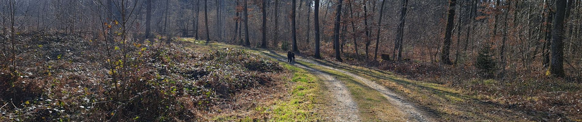
Elevation profile

Photos

Positioning

Country:
Belgium
Region :
Wallonia
Department/Province :
Namur
Municipality :
Florennes
Location:
Unknown
Start:(UTM)
610891 ; 5572742 (31U) N.


Close
My subscriptions