


r

fario
User
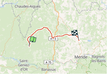

Length
64 km

Max alt
1352 m

Uphill gradient
828 m
Km-Effort
75 km

Min alt
1040 m

Downhill gradient
1024 m
Boucle
No
Creation date :
2024-08-22 12:37:17.117
Updated on :
2025-03-19 06:06:54.161
5009h28
Difficulty : Very difficult

FREE GPS app for hiking
 SityTrail
IGN / Geographical institutes
SityTrail Plus
The world is yours!
About
Trail Walking of 64 km to be discovered at Occitania, Aveyron, Prades-d'Aubrac. This trail is proposed by fario.
Positioning
Country:
France
Region :
Occitania
Department/Province :
Aveyron
Municipality :
Prades-d'Aubrac
Location:
Unknown
Start:(Dec)
Start:(UTM)
501394 ; 4937464 (31T) N.
Comments