


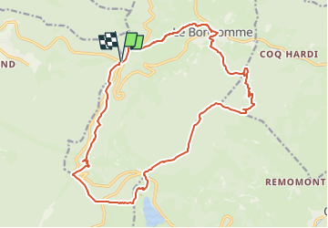
SityTrail - Le Bonhomme (col du) 19 380 +924m

DanielROLLET
User

Length
19.4 km

Max alt
1236 m

Uphill gradient
925 m
Km-Effort
32 km

Min alt
685 m

Downhill gradient
926 m
Boucle
Yes
Creation date :
2025-03-28 08:03:06.04
Updated on :
2025-04-02 09:44:29.954
7h12
Difficulty : Very difficult

FREE GPS app for hiking
 SityTrail
IGN / Geographical institutes
SityTrail Plus
The world is yours!
About
Trail Walking of 19.4 km to be discovered at Grand Est, Vosges, Plainfaing. This trail is proposed by DanielROLLET.
Description
2020 10 19 - 09:45 à 16:05 - Beau temps mais frais.
Avec Marie et Henri
Parcouru 20 300m avec les erreurs et visites.
Positioning
Country:
France
Region :
Grand Est
Department/Province :
Vosges
Municipality :
Plainfaing
Location:
Unknown
Start:(Dec)
Start:(UTM)
357203 ; 5336415 (32U) N.
Comments