


Bellefontaine Saint-Vincent

alfreson
User
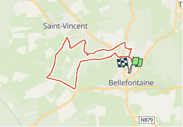

Length
7.9 km

Max alt
395 m

Uphill gradient
109 m
Km-Effort
9.4 km

Min alt
352 m

Downhill gradient
110 m
Boucle
Yes
Creation date :
2025-03-30 08:36:42.0
Updated on :
2025-03-30 10:36:08.594
1h59
Difficulty : Medium

FREE GPS app for hiking
 SityTrail
IGN / Geographical institutes
SityTrail Plus
The world is yours!
About
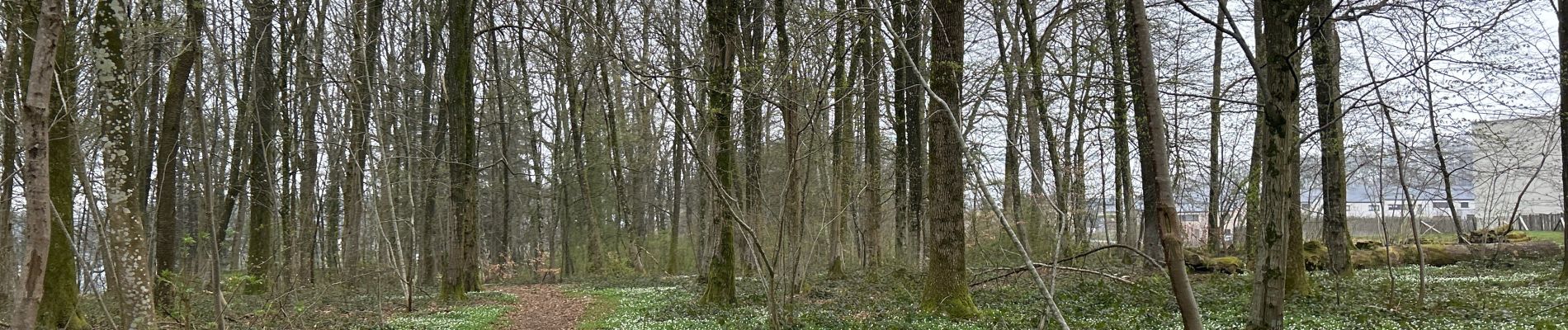
Trail Walking of 7.9 km to be discovered at Wallonia, Luxembourg, Tintigny. This trail is proposed by alfreson.
Photos


Positioning
Country:
Belgium
Region :
Wallonia
Department/Province :
Luxembourg
Municipality :
Tintigny
Location:
Unknown
Start:(Dec)
Start:(UTM)
680222 ; 5504601 (31U) N.
Comments