


St Mathieu de Trevier 250330

Dupuybadonniere
User
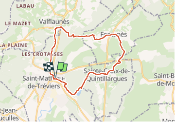

Length
16.1 km

Max alt
194 m

Uphill gradient
265 m
Km-Effort
19.6 km

Min alt
96 m

Downhill gradient
265 m
Boucle
Yes
Creation date :
2025-03-30 07:28:03.75
Updated on :
2025-03-30 13:25:54.282
4h01
Difficulty : Very difficult

FREE GPS app for hiking
 SityTrail
IGN / Geographical institutes
SityTrail Plus
The world is yours!
About
Trail Walking of 16.1 km to be discovered at Occitania, Hérault, Saint-Mathieu-de-Tréviers. This trail is proposed by Dupuybadonniere.
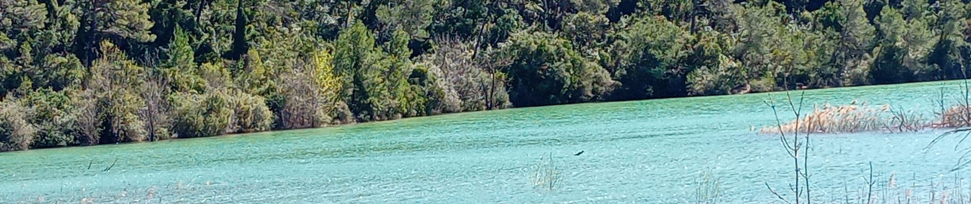
Photos


Positioning
Country:
France
Region :
Occitania
Department/Province :
Hérault
Municipality :
Saint-Mathieu-de-Tréviers
Location:
Unknown
Start:(Dec)
Start:(UTM)
570257 ; 4846871 (31T) N.
Comments