


Annapurna Base Camp

perlimpinpin59
User GUIDE
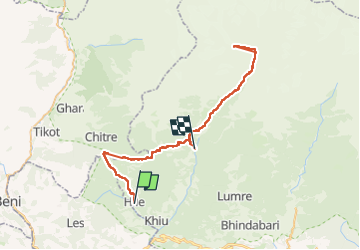

Length
77 km

Max alt
4124 m

Uphill gradient
5864 m
Km-Effort
154 km

Min alt
1477 m

Downhill gradient
5683 m
Boucle
No
Creation date :
2025-03-25 04:27:02.0
Updated on :
2025-04-03 02:26:08.847
47h59
Difficulty : Very difficult

FREE GPS app for hiking
 SityTrail
IGN / Geographical institutes
SityTrail Plus
The world is yours!
About
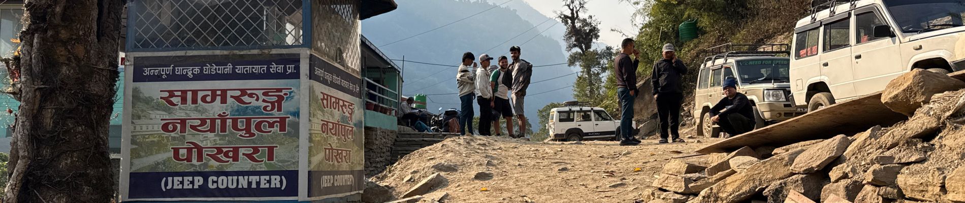
Trail Walking of 77 km to be discovered at Unknown, Kaski, Dangsing. This trail is proposed by perlimpinpin59.
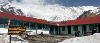
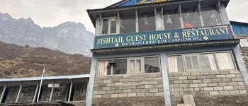
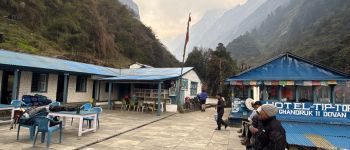
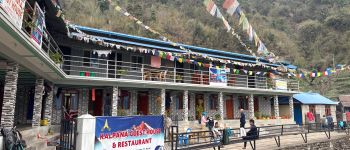
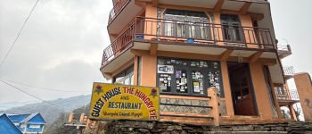
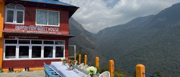
Photos


Points of interest
Positioning
Country:
Nepal
Region :
Unknown
Department/Province :
Kaski
Municipality :
Dangsing
Location:
Unknown
Start:(Dec)
Start:(UTM)
768786 ; 3138097 (44R) N.
Comments