


BM RD Port aux cerises

jeanmarcMasson
User GUIDE
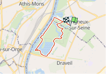

Length
6.4 km

Max alt
42 m

Uphill gradient
40 m
Km-Effort
6.9 km

Min alt
29 m

Downhill gradient
40 m
Boucle
Yes
Creation date :
2025-04-03 07:47:23.0
Updated on :
2025-04-03 14:56:07.422
1h34
Difficulty : Medium

FREE GPS app for hiking
 SityTrail
IGN / Geographical institutes
SityTrail Plus
The world is yours!
About
Trail Walking of 6.4 km to be discovered at Ile-de-France, Essonne, Vigneux-sur-Seine. This trail is proposed by jeanmarcMasson.
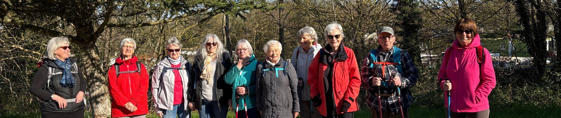
Photos


Positioning
Country:
France
Region :
Ile-de-France
Department/Province :
Essonne
Municipality :
Vigneux-sur-Seine
Location:
Unknown
Start:(Dec)
Start:(UTM)
456721 ; 5394169 (31U) N.
Comments