


Beaulieu sous la roche Ouest

Gascon
User

Length
12.6 km

Max alt
62 m

Uphill gradient
120 m
Km-Effort
14.2 km

Min alt
24 m

Downhill gradient
120 m
Boucle
Yes
Creation date :
2015-07-04 00:00:00.0
Updated on :
2015-07-04 00:00:00.0
2h59
Difficulty : Easy

FREE GPS app for hiking
 SityTrail
IGN / Geographical institutes
SityTrail Plus
The world is yours!
About
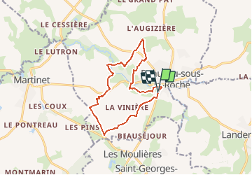
Trail Walking of 12.6 km to be discovered at Pays de la Loire, Vendée, Beaulieu-sous-la-Roche. This trail is proposed by Gascon.
Description
Beau parcours souvent ombragé beau chemin
Positioning
Country:
France
Region :
Pays de la Loire
Department/Province :
Vendée
Municipality :
Beaulieu-sous-la-Roche
Location:
Unknown
Start:(Dec)
Start:(UTM)
605884 ; 5169791 (30T) N.
Comments