Trail Walking Tongeren - reser e de kevie - Photo

reser e de kevie

 stef789
stef789

User GUIDE

© OpenStreetMap contributors
Length
Length
8.2 km
Max alt
Max alt
93 m
Uphill gradient
Uphill gradient
46 m
Km-Effort
Km-Effort  
8.8 km
Min alt
Min alt
81 m
Downhill gradient
Downhill gradient
46 m
Boucle
Boucle
Yes
Creation date :
2025-04-05 09:25:19.727
Updated on :
2025-04-05 12:34:06.224

(0 Reviews)

Walking
Walking
2h04
Difficulty : Very easy

Scan this QR Code to open this trail in the SityTrail application

FREE GPS app for hiking

Logo SityTrail SityTrail

IGN / Geographical institutes

Download SityTrail from the App Store Download SityTrail from Google Play

Logo SityTrail SityTrail Plus

The world is yours!

Download SityTrail from the App Store Download SityTrail from Google Play Download SityTrail on Huawei AppGallery

About

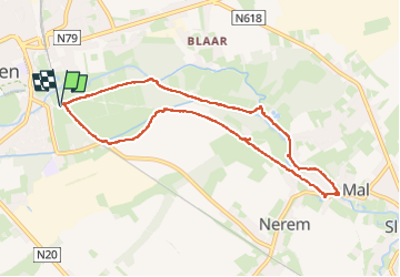
Trail Walking of 8.2 km to be discovered at Flanders, Limburg, Tongeren. This trail is proposed by stef789.

Description

1/3 du chemin se passe longue la réserve totalement impénétrable, les autres 2/3 sont constitués d'asphalte ... bof bof bof... regarde tout de même les photos
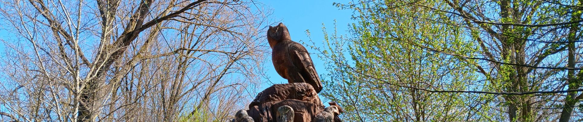
Elevation profile

Photos

39 photos in total. Please click on a photo to see them all in the gallery.

Positioning

Country:
Belgium
Region :
Flanders
Department/Province :
Limburg
Municipality :
Tongeren
Location:
Tongeren
Start:(UTM)
674611 ; 5627967 (31U) N.


Close
My subscriptions