


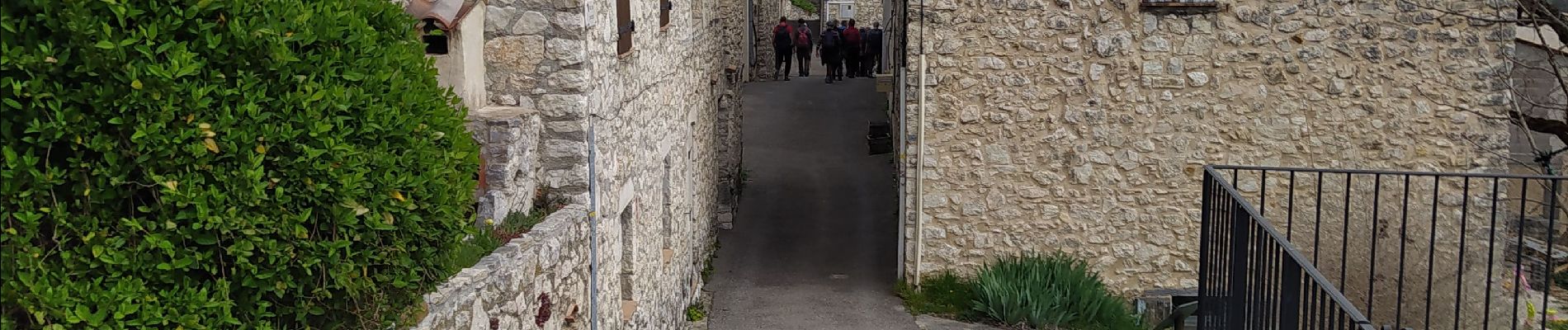
trigance/ belvédère /rancoumas

Michel DUBOIS
User
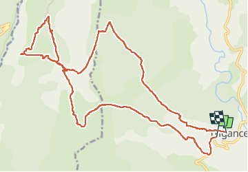

Length
14.7 km

Max alt
1156 m

Uphill gradient
643 m
Km-Effort
23 km

Min alt
769 m

Downhill gradient
622 m
Boucle
No
Creation date :
2025-04-08 07:04:13.279
Updated on :
2025-04-08 13:07:49.467
3h54
Difficulty : Medium

FREE GPS app for hiking
 SityTrail
IGN / Geographical institutes
SityTrail Plus
The world is yours!
About
Trail Walking of 14.7 km to be discovered at Provence-Alpes-Côte d'Azur, Var, Trigance. This trail is proposed by Michel DUBOIS.
Photos


Positioning
Country:
France
Region :
Provence-Alpes-Côte d'Azur
Department/Province :
Var
Municipality :
Trigance
Location:
Unknown
Start:(Dec)
Start:(UTM)
294100 ; 4848452 (32T) N.
Comments