


boucle Jaugey

alik
User
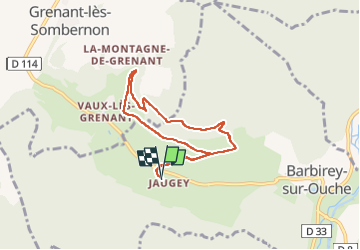

Length
6.6 km

Max alt
569 m

Uphill gradient
258 m
Km-Effort
10 km

Min alt
351 m

Downhill gradient
258 m
Boucle
Yes
Creation date :
2025-04-12 12:48:48.333
Updated on :
2025-04-12 14:36:16.496
1h46
Difficulty : Medium

FREE GPS app for hiking
 SityTrail
IGN / Geographical institutes
SityTrail Plus
The world is yours!
About
Trail Walking of 6.6 km to be discovered at Bourgogne-Franche-Comté, Côte-d'Or, Barbirey-sur-Ouche. This trail is proposed by alik.
Description
quelques montées un peu raides
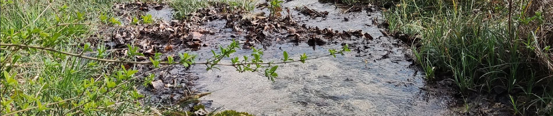
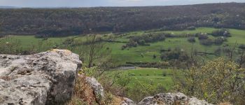
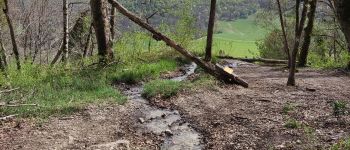
Photos


Positioning
Country:
France
Region :
Bourgogne-Franche-Comté
Department/Province :
Côte-d'Or
Municipality :
Barbirey-sur-Ouche
Location:
Unknown
Start:(Dec)
Start:(UTM)
630751 ; 5234711 (31T) N.
Comments