


campagne Denee

vrenneson
User

Length
7.5 km

Max alt
267 m

Uphill gradient
153 m
Km-Effort
9.5 km

Min alt
185 m

Downhill gradient
145 m
Boucle
Yes
Creation date :
2025-04-13 13:46:14.787
Updated on :
2025-04-13 15:28:52.533
1h34
Difficulty : Medium

FREE GPS app for hiking
 SityTrail
IGN / Geographical institutes
SityTrail Plus
The world is yours!
About
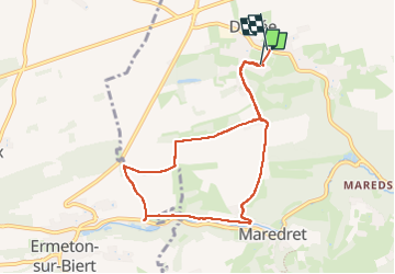
Trail Walking of 7.5 km to be discovered at Wallonia, Namur, Anhée. This trail is proposed by vrenneson.
Photos

Positioning
Country:
Belgium
Region :
Wallonia
Department/Province :
Namur
Municipality :
Anhée
Location:
Unknown
Start:(Dec)
Start:(UTM)
624636 ; 5575310 (31U) N.
Comments